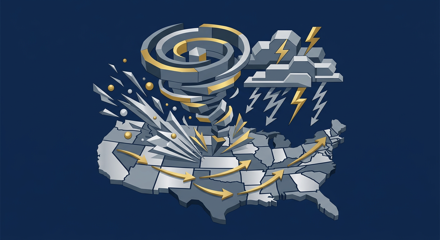
A significant and multi-day severe weather outbreak is expected to impact a wide area of the United States, with a particular focus on the Plains and Texas. According to reports from The New York Times, The Weather Channel, and the San Antonio Express-News, residents from Texas northward through the central Plains are bracing for several days of dangerous conditions, including the potential for strong tornadoes, very large hail, and damaging straight-line winds. The threat is forecast to unfold over the next five days, representing a substantial and prolonged period of atmospheric volatility.
Meteorological Breakdown of the Threat
The catalyst for this extended severe weather event is a dynamic and potent storm system moving out of the Rocky Mountains and into the more moisture-rich and unstable environment of the Great Plains. As reported by The Weather Channel, this setup is classic for a potential severe weather outbreak in this region. Meteorologically, several key ingredients are coming together to create this dangerous situation. A strong, dipping jet stream at upper levels of the atmosphere is providing powerful lift and wind shear—the change in wind speed and direction with height. This shear is crucial for the development of rotating supercell thunderstorms, which are the type of storms responsible for the most violent tornadoes and largest hail.
Simultaneously, at the lower levels of the atmosphere, a flow of warm, moist air is surging northward from the Gulf of Mexico. This provides the instability, or fuel, for thunderstorm development. When the powerful upper-level dynamics of the jet stream interact with this unstable airmass, the result is often explosive thunderstorm growth. The multi-day nature of this event, as highlighted by The New York Times, is due to the slow-moving nature of the parent storm system. Instead of a single frontal passage, the system is expected to stall and pivot, repeatedly triggering new rounds of storms over the same general areas for several consecutive days. The San Antonio Express-News specifically notes the long duration of the threat for Texas, emphasizing the need for sustained vigilance.
Timeline and Primary Hazards
Forecasters are concerned about the daily evolution of this threat, with the risk area potentially shifting slightly each day. Here is a general expected progression:
Initial Stages: The threat will likely begin in the southern and central Plains, including parts of Texas, Oklahoma, and Kansas. The initial storms could produce very large hail as the primary threat, given the presence of cold air aloft.
Peak of the Outbreak: As the storm system matures and organizes, the threat for significant tornadoes is expected to increase. This is when the wind shear becomes most favorable for sustained supercell rotation.
Waning Stages: As the system slowly moves eastward, the severe weather threat will also shift, potentially impacting parts of the Mississippi River Valley. While the overall intensity may decrease, the risk of damaging winds and hail will remain.
Historical Context of Plains Outbreaks
Severe weather in the Plains during this time of year is not unusual; this region, often called “Tornado Alley,” is globally unique in its propensity for producing tornadic storms. However, the forecast for a multi-day “outbreak” elevates the level of concern beyond a typical spring storm system. An outbreak implies numerous, significant severe weather reports over a large area in a concentrated period. Historically, some of the most impactful and devastating tornado events in U.S. history have occurred under similar atmospheric patterns.
For context, meteorologists often look back at events like the May 3-6, 1999, tornado outbreak in Oklahoma and Kansas, or the “Super Tuesday” outbreak of February 2008, which impacted a broad area of the South. These events were characterized by long-duration, violent tornadoes and widespread significant damage. While forecasting the exact intensity of any individual storm is impossible days in advance, the atmospheric parameters being forecast are analogous to those seen in these historical events. The key difference and primary concern with the current forecast is its duration. A multi-day event strains emergency resources and can lead to “preparedness fatigue” among the public, where vigilance wanes after the first day of storms passes. This prolonged risk requires a different level of mental and physical preparation from residents in the affected regions.
Analyzing the Geographic Risk
The specific geographic focus on Texas and the Plains is a direct result of the confluence of key meteorological ingredients. As noted by the San Antonio Express-News, Texas is in the crosshairs for a multi-day threat. The state’s unique geography plays a critical role. Its proximity to the warm waters of the Gulf of Mexico provides an almost endless supply of the moisture and instability needed to fuel thunderstorms. At the same time, the state is a common meeting ground for the dry, desert air from the west (creating a “dryline,” a notorious trigger for severe storms) and the powerful, storm-steering jet stream winds from the north and west.
This outbreak is expected to affect a wide swath of the country, a point emphasized by The New York Times. The threat isn’t confined to a small, localized area. Instead, a corridor of enhanced risk will likely stretch over a thousand miles from south to north. This means millions of people and multiple major metropolitan areas could be impacted over the course of the event. The day-to-day risk area will be refined by forecasters, but the overarching pattern suggests that anyone from Central Texas through Oklahoma, Kansas, Nebraska, and potentially into the Midwest needs to be on high alert. This broad geographic extent complicates national-level resource allocation for emergency response and recovery efforts should widespread damage occur.
Preparedness and Safety Imperatives
Given the potential for significant severe weather, authorities are urging residents to take preparatory actions now. This is not a situation to be taken lightly, and waiting until a warning is issued is often too late.
Key Steps to Take:
Have Multiple Ways to Receive Warnings: Do not rely on just one method. Ensure you have a NOAA Weather Radio, a reliable smartphone app with alerts enabled, and are following local media.
Know Your Shelter Plan: Identify the safest location in your home, typically a basement or an interior, windowless room on the lowest level. If you live in a mobile home or a vehicle, you must have a plan to get to a sturdy, permanent structure before the storm hits.
Prepare an Emergency Kit: This should include water, non-perishable food, a flashlight, batteries, a first-aid kit, and any necessary medications.
Secure Outdoor Objects: Damaging winds can turn loose items like patio furniture and trampolines into dangerous projectiles. Secure them or bring them inside before the storms arrive.
The multi-day nature of this threat requires sustained awareness. It is crucial to check the forecast daily and not let your guard down, even if a prior day’s storms did not directly impact you.
FAQ
What is the difference between a tornado watch and a tornado warning?
A tornado watch means that conditions are favorable for tornadoes to develop in and near the watch area. A tornado warning means a tornado has been sighted by storm spotters or indicated by weather radar and poses an imminent threat to life and property.
What is the single most important thing I can do to stay safe?
The most critical action is to have a predetermined shelter plan and to act on it immediately when a warning is issued for your area. Do not wait for visual confirmation of the storm.
Why is this being called a potential “outbreak”?
The term “outbreak” is used by meteorologists when a large number of tornadoes, or a smaller number of particularly strong tornadoes, are expected to occur in a relatively short period of time over a large geographic area.
With the forecast calling for several days of storms, how do you think emergency management and response teams should be allocating their resources to avoid burnout and ensure continuous readiness? Sound off in the comments below.


Leave a Reply