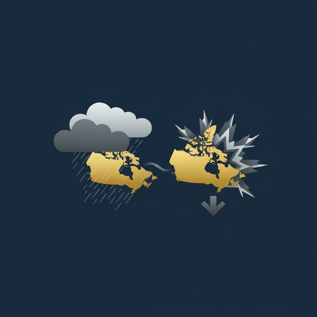
Canada braces for a stark geographical split in its weather patterns this March 17, 2026, marking a quintessential early spring scenario with dramatic shifts from coast to coast. While the Pacific coast anticipates significant rainfall driven by an atmospheric river, central and eastern regions are preparing for a sharp drop in temperatures, accompanied by strong winds and the lingering threat of flurries. This national weather portrait underscores March’s reputation as a month of volatile temperature swings across the country. An active storm track is projected to remain particularly influential across Ontario, Quebec, and Atlantic Canada, shaping conditions well into the week.
West Coast Forecast: Rainy Conditions in Vancouver
Residents of Vancouver and British Columbia’s south coast should prepare for a thoroughly wet March 17. The forecast for Vancouver indicates a high probability of precipitation, with models showing a 95-99% chance of rain throughout both the day and night. Temperatures are expected to remain mild, with highs reaching between 10-12°C and lows hovering around 9-10°C. The dominant weather factor will be an atmospheric river event, actively impacting the region and delivering heavy rainfall that could lead to localized accumulation and elevated river levels. This significant system is set to define the day’s weather, making umbrellas and rain gear essential for anyone venturing outdoors.
Meanwhile, other parts of the West are set to experience vastly different conditions. Calgary, for instance, is forecast to enjoy a much warmer trend, basking in a sunny day with a high of 16°C. This stark contrast highlights the vast meteorological differences possible within Canada’s expansive western provinces on any given day, particularly during the transitional month of March.
Central Canada Forecast: Temperature Drop in Toronto
Moving eastward, the weather narrative shifts dramatically to Toronto, where colder temperatures and blustery conditions are the main concern for March 17. The city is under a special weather statement, alerting residents to strong winds with gusts potentially reaching up to 90 km/h. These powerful winds will contribute significantly to the perceived cold. The temperature outlook includes a high of -4°C to -5°C, with overnight lows plummeting to between -9°C and -11°C. The wind chill factor is expected to make it feel even colder, with overnight temperatures potentially feeling as frigid as -15°C. There is also a chance of flurries, particularly overnight, adding a wintry touch to the forecast. This abrupt return to colder, windier weather underscores the unpredictable nature of early spring in Central Canada, where mild spells can quickly give way to biting cold.
East Coast Forecast: Cold and Clear in Montreal
Further east, Montreal will experience generally cold and clear to partly cloudy skies for March 17. The high for the day is expected to reach -2°C, but residents should brace for a much colder night, with temperatures dropping sharply to a low of -14°C. While the bulk of the day appears to be relatively dry, there is a chance of rain and snow transitioning overnight from Monday into Tuesday morning before conditions clear. This forecast for Montreal, characterized by frigid temperatures and the possibility of mixed precipitation, aligns with the broader active storm track anticipated to affect Quebec and Atlantic Canada during this period. The eastern provinces continue to grapple with the lingering grip of winter, even as the calendar progresses deeper into spring.
Frequently Asked Questions
Q1: What is an atmospheric river event, and how will it affect Vancouver?
A1: An atmospheric river is a long, narrow region in the atmosphere that transports most of the water vapor outside of the tropics. In Vancouver’s case for March 17, this event is bringing a high probability of heavy rainfall throughout the day and night.
Q2: What is a “special weather statement” in Toronto, and what does it mean for residents?
A2: A special weather statement indicates that unusual weather conditions are occurring or are expected, but they are not severe enough to warrant a warning. For Toronto on March 17, it’s in effect for strong winds, with gusts up to 90 km/h, meaning residents should secure loose objects and be prepared for blustery conditions and significant wind chill.
Q3: Why are there such dramatic temperature swings across Canada in March?
A3: March is a transitional month where winter’s cold air masses clash with encroaching spring warmth. This often leads to highly active storm systems and significant temperature fluctuations as different air masses move across the vast Canadian landscape, affecting various regions differently.
What are your local weather expectations for March 17, and how do they compare to this national forecast?


Leave a Reply